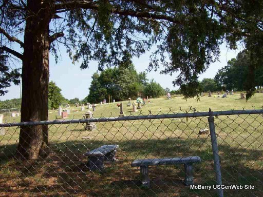
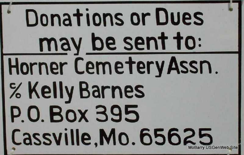
Horner Cemetery
Barry Co., MO
Both North and South
SE of Cassville
Flat Creek Twp.
Land Office Location - SE Sec. 3, T22N,R27W
GPS - 363855N 0935004W
Flat Creek Twp.
Land Office Location - SE Sec. 3, T22N,R27W
GPS - 363855N 0935004W


Directions: Go south of Cassville , MO on Hwy 112. Turn left on Hwy 76-86, and then go to farm road 1135 turn right,go to farm road 2190, turn right. This road divides the cemetery - the old part is on the south and the new part on the north. The cemetery is about 4 miles from Cassville.
Transcribed May 1999 from existing headstones by Elizabeth and Mary Homesley
Headstones with photos transcribed in both the north and south sections, spring of 2006, by Darla Marbut.
Visit Horner Cemetery Files
Index A - B Index C - D Index E - G Index H Index I - L
Index M - N Index O - Q Index R - S Index T Index U - Z
Index A - B Index C - D Index E - G Index H Index I - L
Index M - N Index O - Q Index R - S Index T Index U - Z
The open space in the middle of the cemetery is where there were stones at one time.
Joan Kunkel transcribed the cemetery in 1982 and it was included in Vol. IV of the Barry County Cemetery Books. Mary and Elizabeth Homesley transcribed it again in 1999. Soon after the 1999 work was completed, we listed the transcription of both the north and south sides on the Barry County web site.
Back in those days, we didn’t know how to use shaving cream on old stones to bring out the dates that have weathered and aged, so if you have used dates from either of these transcriptions then you may be surprised to find a high percentage of error content in your records. We want our cemetery records to be accurate, so an attempt has been made to find all the names and to correct all the dates with the new photo transcriptions of 2006. However, I am sure that there will be some that we have missed or some stones that we simply cannot figure out because they are too weathered to read. At any rate, it would be a good idea to check your dates against the photos that are posted.

