
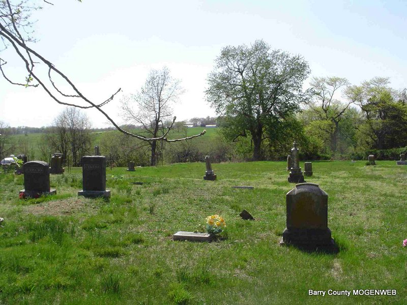
Maddy Cemetery
West of Purdy, MO
Shoal Creek Twp.
Land Office Location - SE Sec. 24, T24N, R28W
GPS - 364912N 0935780W
Shoal Creek Twp.
Land Office Location - SE Sec. 24, T24N, R28W
GPS - 364912N 0935780W

Directions: Take Hwy B west from Purdy and turn north on FR1065. The cemetery will be on the left. Located about 3 miles west of Purdy, MO.
April 2006 all the stones in this cemetery were photographed by Donna Cooper
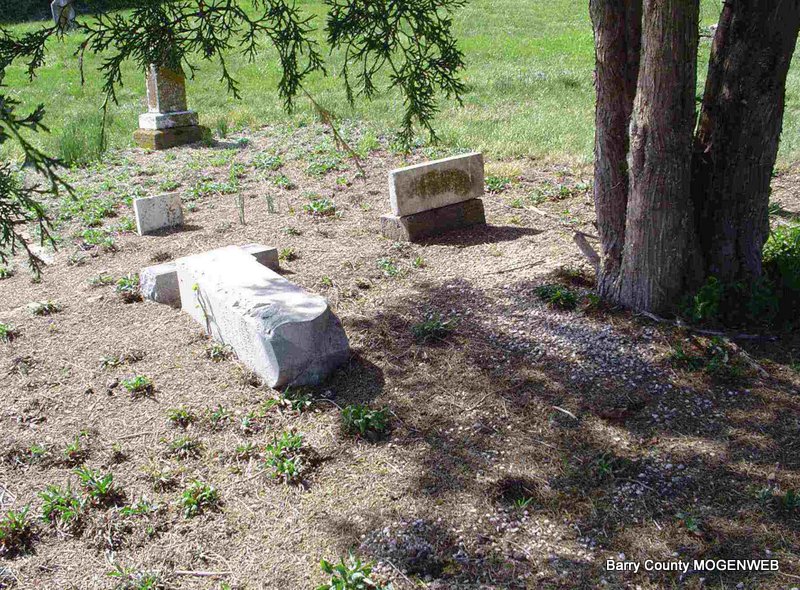
The "old timers" tell the story of how a tornado took out some of the stones at Maddy and that is why so many of the graves are unmarked. A lot of the stones are missing or there are a lot of unmarked graves; however, the cemetery is in pretty good shape considering how old it is.
John and Margaret Maddy owned the land that this cemetery is situated on and they are buried here toward the back of the cemetery along with another Maddy family member.
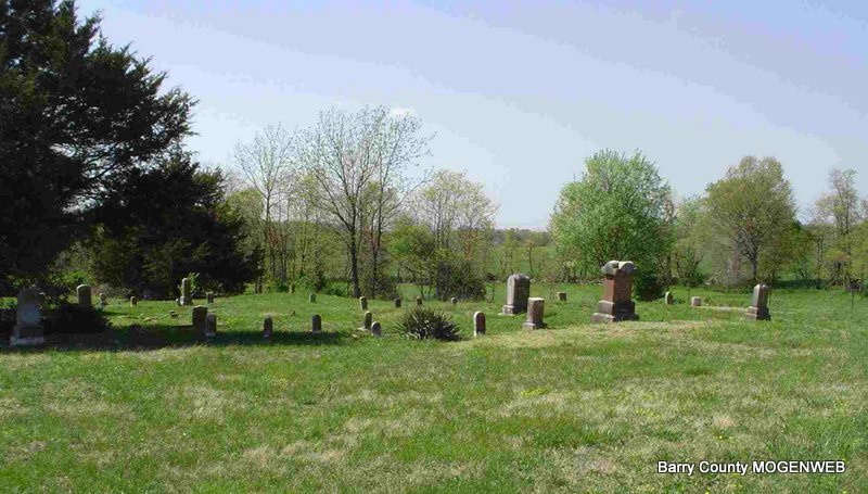
Additional Photos of Cemetery
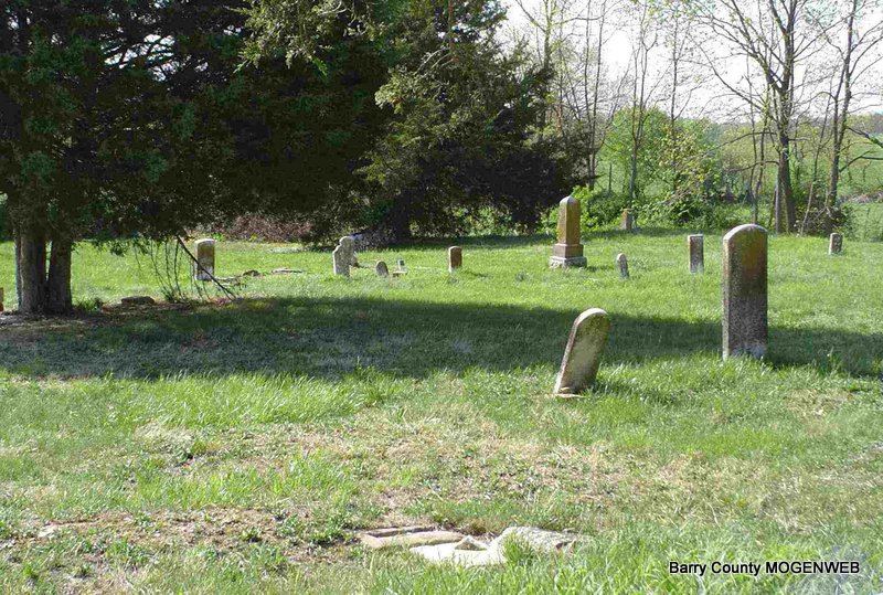
Looking North - Long stones are the red ones
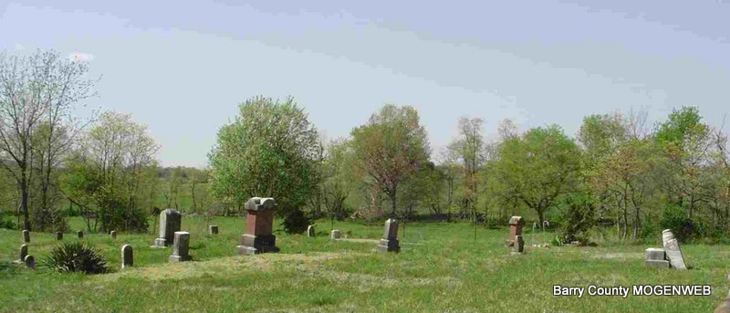
Looking Northwest
Stone for Joseph Robberson
Looking Northwest
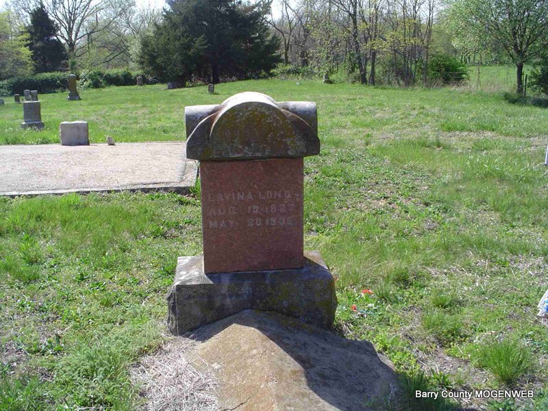
Looking West - Lavina Long's Stone - Behind it are two Ash graves.
Looking west - Square stone is Elijah Bowman's.
Looking West - Campbell graves are near the tree.