Liberty Cemetery
Near Golden, MO
White River Twp.
Land Office Location
SW Sec. 22, T21N, R25W
GPS: 363020N 0933808W
White River Twp.
Land Office Location
SW Sec. 22, T21N, R25W
GPS: 363020N 0933808W
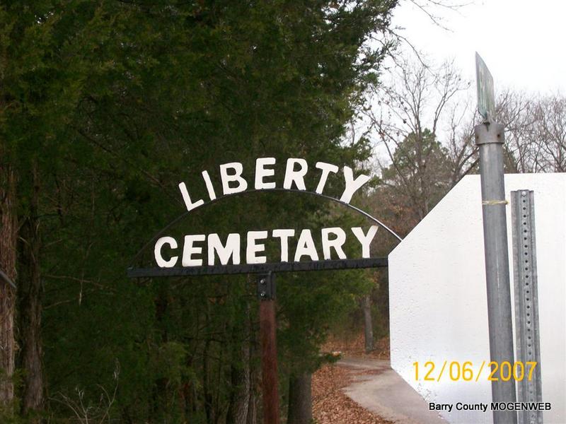
Directions: Take Farm Road 1247 off of 86. (If traveling East, this is about 1 1/2 miles East of Ball and Prior Tires and Shoemaker Tires in Golden. If traveling West it is about 4 miles West of Carr Lane) Farm Road 1247 is on the North side of the highway. (you will see a Liberty Cemetery sign as soon as you turn unto 1247.)
Take the first road on the left side of 1247. This looks like a private drive (complete with a mail box) Stay to the right on this drive. It will lead you to the cemetery.
Feb. 2007 All the stones in Liberty Cemetery were photographed by Jay Trace during the summer of 2006.
Penny Cooper Bailey walked this cemetery Jan 1, 2005, and she thought that several of the stones were not readable, plus a couple were believed to have been stolen. In 2007 when Jack Fly did the photo transcription, all the stones were read and photographed.
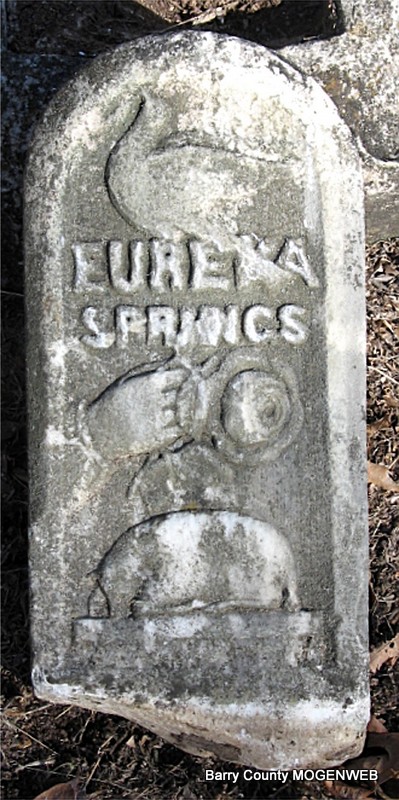
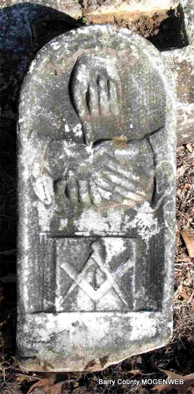
"Mystery Stone"
Front and Back
Front and Back