
A. J. Henderson Cemetery
Barry Co., MO
North of Purdy, Barry Co., MO
King's Prairie Twp.
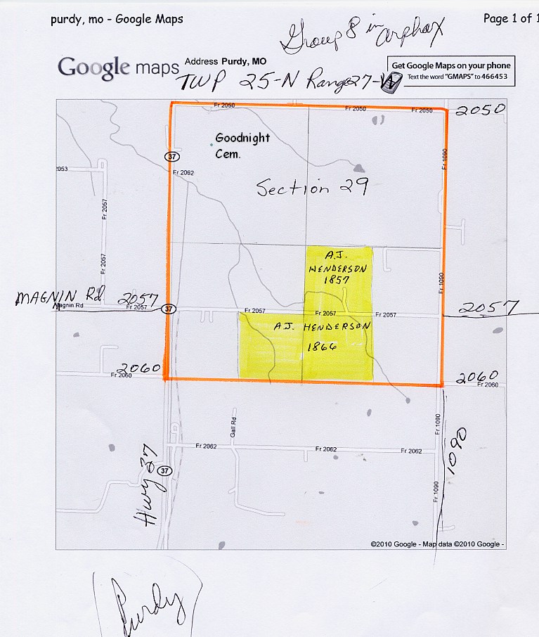
Land Office Location: Sec. 33, T25 N., R27W
GPS: 365024N 0935258W
Complete Transcription by: Janice Vaughan
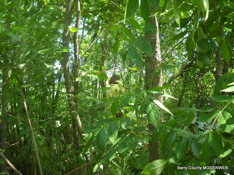
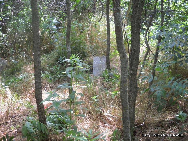
This info was taken from the 19 existing stones headstones in 1987 when they were still standing. In 1999 the cemetery was overgrown and in bad condition.
Photos taken May 31, 2010 by Phyllis Long and Donna Cooper
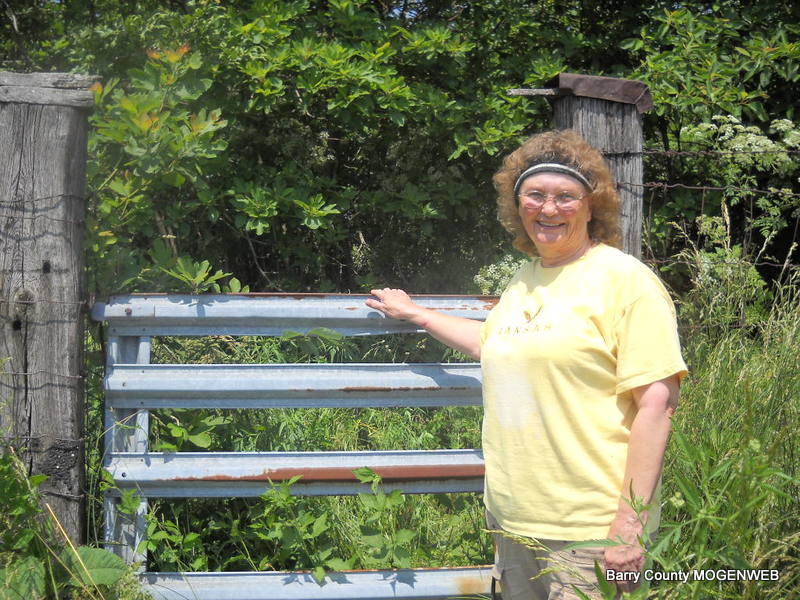
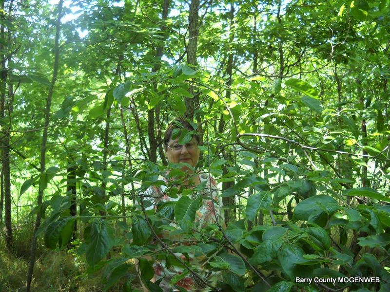
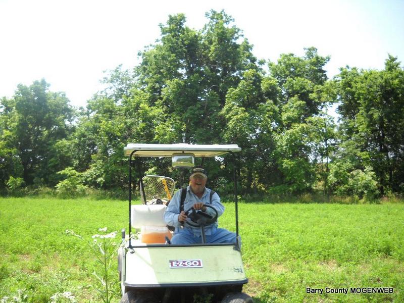
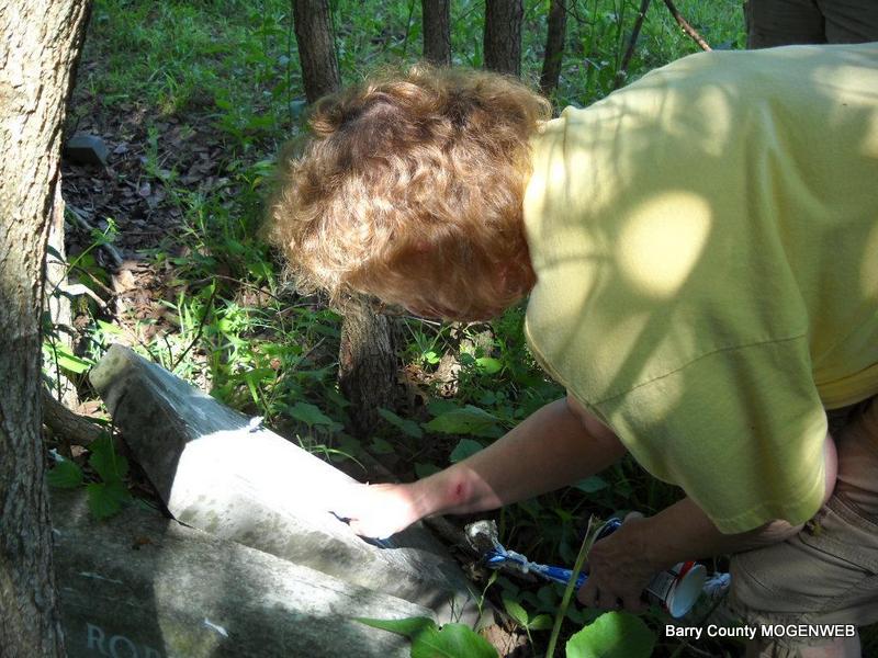
Located about 1 1/2 miles north of Purdy, on land owned by L. Wormington in 1999. From the intersection of Rt. 37 and FR 2070 go east on 2070. The third farm road going north will be 1095, go left on it and look for the first house on the left where the Terry family lives. Mr. Terry will be able to tell you how to find it - is in a field near his house. The L. Wormington land is a 128 acre parcel (1999) on the northwest corner of this intersection. Lloyd Wormington owned the land in 2010. Directions submitted by Linda McCormick: The message helped us find the location - Donna, the best I can tell from the Arphax Map Book Twp Map is that GG-Uncle A. J. Henderson's spread was on 2057, midway between Hwy 37 and 1090. In 1857 be bought the NWSE 40 ac of Sec. 29 (Map Group 8) ... probably where he built his cabin/house and home place. Then in 1866 he bought across the road (2057), the SWSE 40 ac. and SESW 40 ac or Sec. 29. That would be ¼-½ mi. west of corner of 1090 and 2057. (On the Google map attached it looks as though there may be a short street running north about half way.) I don't know where on the 120 ac. the cemetery plot may be - the oldest grave appears to be maybe 1874 or so. See this MAP Phyllis shutting the gate Donna - looking for stones Neighbor - Jim Terry - gave us a ride to the location Phyllis reading a stone that is broken and on the ground |