|
 |
|
|
|
|
#832
McGaugh Cemetery Richmond Township |
||
Ray County Cemeteries - Web Page
|
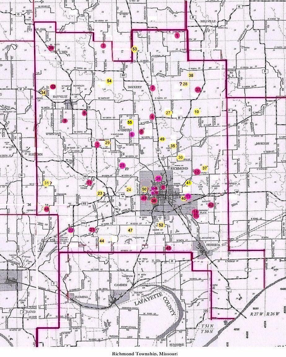
#32 on RichmondTownship Map |
 |
||
| McGaugh Cemetery
(aka Zirjacks Cemetery) |
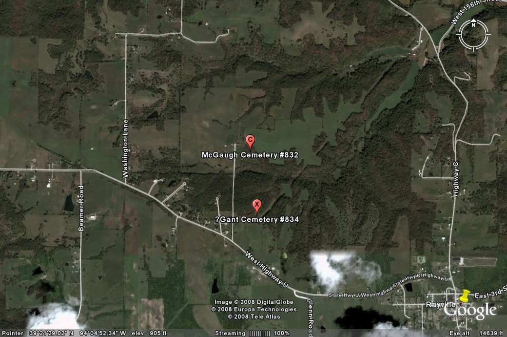
northwest of Rayville
#32 on Richmond Township Map not the same as McGaugh Cemetery #842 (east of Richmond) |
Latitude: 39°21'39.03"N
Longitude: T53R28S31 |
1973 Ray County History: p. 232 Cemeteries Not Listed on Map, #26; west of Rayville, route U, Harold Glenn farm
Ray County Library (big black binder): The Zirjacks Cemetery is a family cemetery, no longer in use, located in Section 31, township 53 North, Range 28 west, Ray County, approximately 1 1/2 miles west of Rayville, MO. (the cemetery is in poor condition: badly overgrown in brush, weeds and fences are down, cattle have roamed freely through the cemetery for many years, as it is in the middle of a farm and has no access road. Many of the headstones were broken, although most were readable. Some stones were comletely unreadable. Others were unreachable due to the brush and brambles) Located 2-1/2 miles northest of Rayville DAR Index: McGaugh Cemetery III - T53R28S31 NE1/4 |
Ray REF 929.3 RAY |
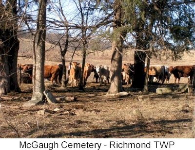
photo submitted by Jennifer Zunker |
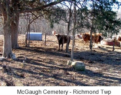
photo submitted by Jennifer Zunker |
|
Transcription:
Ray County Home Page | MoGenWeb | USGenWeb | WorldGenWeb | E-Mail County Coordinator
To add additional information relating to Ray County, Missouri Genealogy, E-Mail the county coordinator.
since November 11, 2006
Last Updated