
Rock Springs Cemetery
South of Washburn, NW of Seligman, Barry Co., MO
Sugar Creek Twp.
Land Office Location - NE Sec. 8, T21N, R28W
GPS - 363323N 0935851W
Sugar Creek Twp.
Land Office Location - NE Sec. 8, T21N, R28W
GPS - 363323N 0935851W
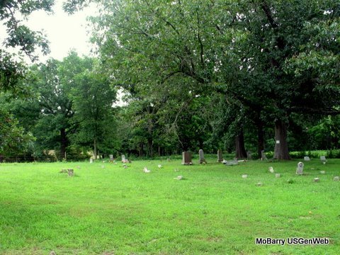
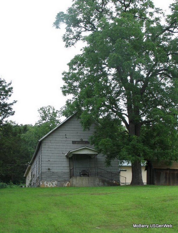
The cemetery is across the road from the Rock Springs Church - Next to the school house.
Rock Spring School is west of the cemetery - has been made into a home.
Directions: From the north: Take 37 south from Washburn. Turn right (south west) over the tracks on FR 1050. At FR 2265 turn left (south). The cemetery will be on the east side of the road before you get to FR 2270 and across the street from the Rock Springs Church.
From the south: Take 37 north from Seligman, to FR 2265 and turn left (West). (The first cemetery you pass will be King/Kings (also known as P.E. Roller) Cemetery). Continue on past FR 2270 and when the road starts curving back north the cemetery will be on the right (east) side and across the street from the Rock Springs Church.
All the stones were photographed in June of 2007 by Jack Fly