
Old Stubblefield Cemetery
Barry Co., MO
SW of Cassville, Barry Co., MO
Flat Creek Twp.
Land Office Location: NE Sec. 6, T22N, R27W
GPS: 363907N 0935322W
Flat Creek Twp.
Land Office Location: NE Sec. 6, T22N, R27W
GPS: 363907N 0935322W
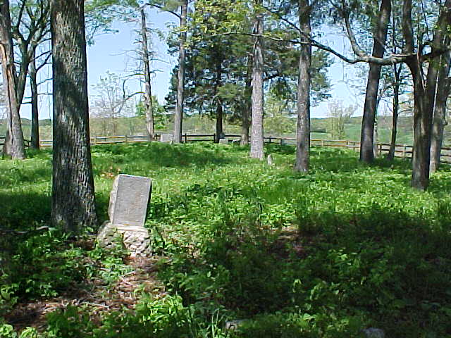
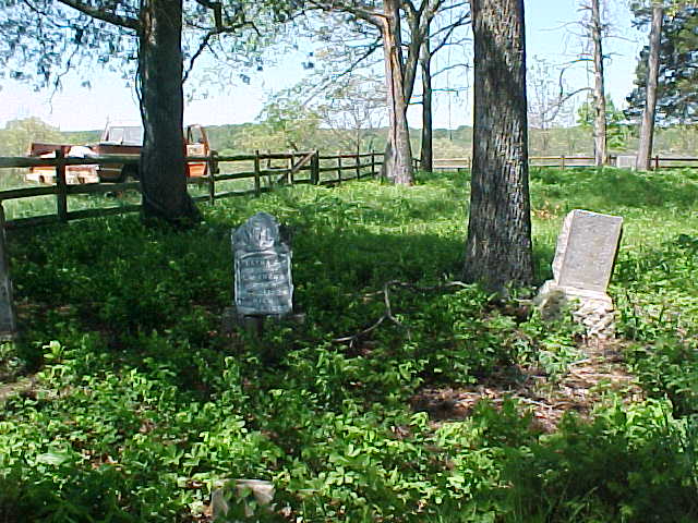
Directions: Take Highway 37 South to Cassville - At the south end of Cassville, there is the intersection of Highways 37/76/86. The next left, or east turn, is Farm Road 2180-go left there Go .4 miles and turn right at Farm Road 1107. Go 1.2 miles until 1107 curves to the right and follow it. As the road starts to curve back left, there is a sign for "Saddle Ridge / D. E. McGruder Development". Turn right into that development, which will be McGruder Boulevard It turns to the left, and you follow it until you come to a cul-de-sac. At that cul-de-sac, if you look down the hill in a field, of to the right a bit. You'll see a grove of trees with a log fence inside that fence is Old Stubblefield Cemetery.
As of April 2004 the property surrounding the cemetery is being sold off in lots for new houses and four houses have already been built.
Jay Trace sent a note that reads: I just talked to a landowner that lives next to the Old Stubblefield Cemetery. He told me that he was told that the Stubblefields generally were buried on the west end of the graveyard, and slaves were buried on the east end. They usually had unmarked, or barely marked, field stones as markers.
All the stones in this cemetery were photographed May of 2007 by Jay Trace.
This cemetery is still in use and well cared for, many stones are very weathered and unreadable. There are a large number of graves missing stones, stones with only the base left and unreadable rocks.