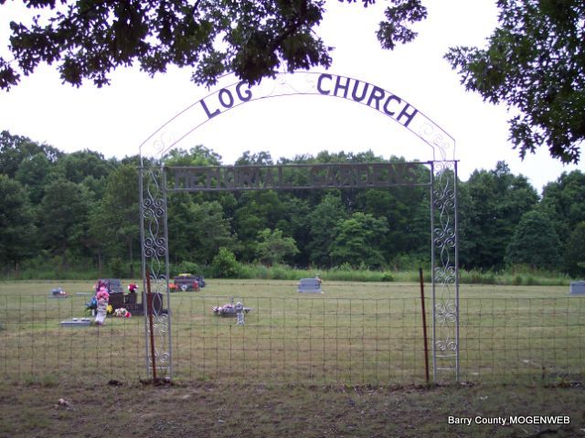
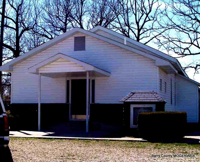
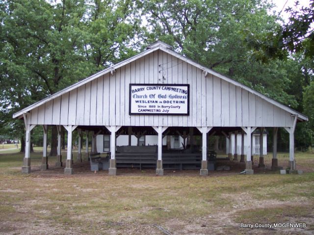
Log Church Memorial Gardens
Located NE of Butterfield, MO
Butterfield Twp.
Land Office Location - NW Sec. 16, T24N, R27W
GPS - 364529N 0935148W
Butterfield Twp.
Land Office Location - NW Sec. 16, T24N, R27W
GPS - 364529N 0935148W


Directions: Turn off hwy. 37 near Butterfield, MO on U hwy going east 3.8 miles to farm road 1115, turn right 1/2 mile to Log Church. Cemetery is behind church.
Land was donated to Log Church for a cemetery by Carl Moller,the first to be buried there.
Transcribed from existing stones in June 1999 by Mary Homesley.
Photos taken spring of 2006 by Diana Cope.


